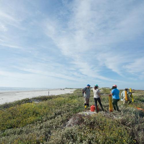
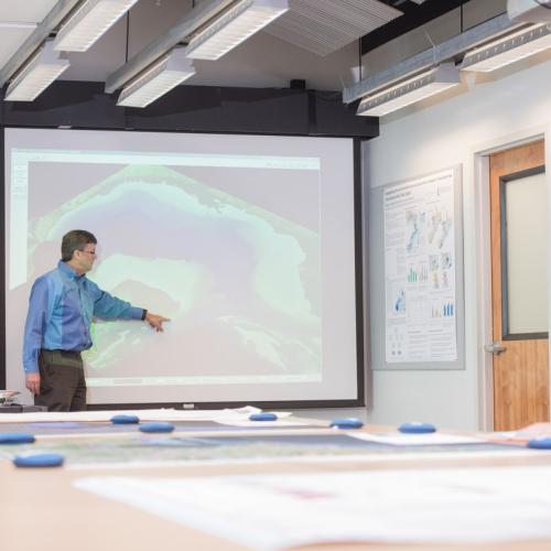
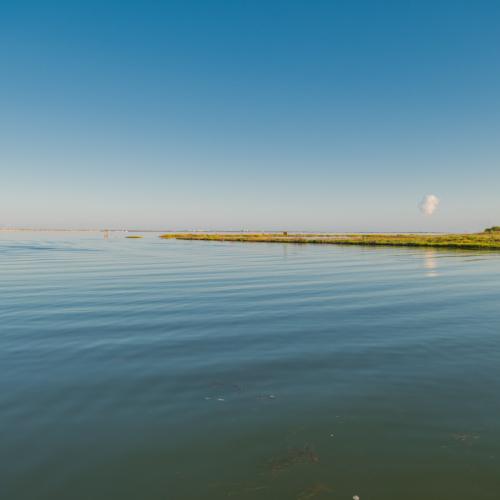
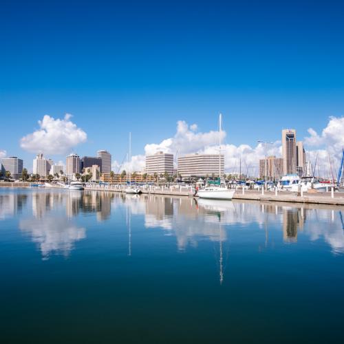
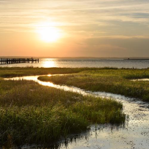
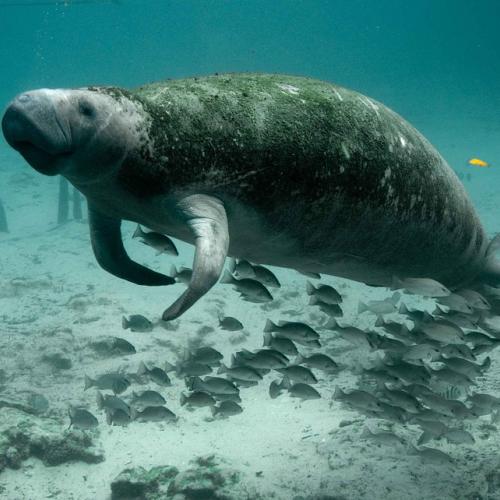
Project by Geospatial Sciences Continued Support Services to Maintain and Enhance Interoperable Data Portal for the GCOOS-RA
Project by Geospatial Sciences Enhanced 3D Mapping for Habitat, Biodiversity, and Flood Hazard Assessments of Coastal and Wetland Areas of the Southern U.S. (3D Wetlands Spoke)
Project by Geospatial Sciences Improving Oil Spill Response Through Integrated Geospatial Reporting Tools and UAS Protocols
Project by Geospatial Sciences Informing the Loop Current Campaign: Data Compilation to Improve Understanding, Simulation, and Prediction of the LCS
Project by Geospatial Sciences System Design and Architecture for the Marine Mammal Health Monitoring and Analysis Platform (MAP): The Base Design
Project by Geospatial Sciences The Gulf of Mexico Research Initiative Information and Data Cooperative (GRIIDC)